Thursday, October 6, 2011

Feature article in October Earth Magazine - fossilized shockwaves

For Earth Magazine's October 2011 edition, I wrote a feature story about the discovery of the Santa Fe impact structure in New Mexico. To see the field evidence of this discovery first hand, I followed retired geologist Tim McElvain out into the Precambrian rocks of the Sangre de Cristo mountains. The crux of his geologic field evidence was finding shatter cones -- rocks that are deformed in a very special way during large meteorite impacts -- and preserved in only a few places on Earth.

Here's a link to the online version of the article:
http://www.earthmagazine.org/article/santa-fe-impact-crater-discovery-series-fortunate-events


Below is an annotated photo I took of a Santa Fe shatter cone outcrop that formed in Precambrian schist. For reference, the field notebook I used for scale is about 4 inches tall. You can see the yellow outlines I made around the most prominent shatter cones -- there are millions at this location -- ranging from meter-sized to millimeter-sized.


Shatter cones are fractal, which means their telltale shape repeats all the way down to the microscopic scale. The cones "point" to the center of the impact structure or crater, which is where the meteorite hit the Earth. A shockwave was created by this massive meteorite impact, and caused permanent deformation (shatter cones) to the Precambrian schists as it passed through the bedrock.

So when you see a shatter cone you're basically looking at a fossilized shockwave!

Unfortunately, no one has discovered an impact crater here in Washington State, though it would be nice to have a local one to investigate. More people to get  out and take a second look at road cuts, upturned beds, and gravity anomalies around the state. If you think you've found something, shoot me an email and I'd be happy to take a look.

You can check out all the confirmed meteor impact sites worldwide at this website: http://www.passc.net/EarthImpactDatabase/index.html

Earth Magazine (http://www.earthmagazine.org/) is published by the American Geosciences Institute.

Friday, June 17, 2011

Fort Worden Beach, Port Townsend and Tamanowas Rock, Chimacum, WA

My trusty field hand and I had a busy week. At Fort Worden State park we practiced proper hand lens technique and enjoyed the Port Townsend Marine Science Center's geologic exhibit.

I've been to the Marine Science Center's Geology Exhibit several times -- I recommend it as an excellent primer for learning about local geology: glaciers, plate tectonics, local fossils, ice-transported rocks (erratics) and beach sand. The gift shop sells an excellent fold-open water-proof guide for beach pebble identification.


Later, we visited Tamanowas Rock. This monolith is a sacred S'Klallam site in Chimacum, now under Jefferson County Land Trust preservation. The honeycomb (geology speak = tafoni) weathering pattern give the cliffs a very interesting texture. A volcanic block and ash flow eruption 30 million years ago created deposits of dacite/adakite composition. The trail is very steep, so be prepared. Dr. Jeff Tepper gave a great lecture on Tamanowas Rock Saturday June 11 http://www.saveland.org/Events/Event_Detail.aspx?processID=81


On the hike out, I saw several gorgeous foxgloves. Spring is here -- and with only a week left -- just in time.

Friday, April 1, 2011

May 12 Geology talk at East Jefferson Rotary Club

On Thursday May 12, I'll be giving a 30-minute powerpoint presentation on the Geology of Port Hadlock, Chimacum and Irondale to the East Jefferson Rotary Club held at the Tri-Area Community Center.

This part of East Jefferson County is home to excellent beach exposures of glacial deposits, roadcuts showcasing Crescent basalt, limonite bog iron ore deposits, a monolith and more.

The local Crescent basalts have excellent vuggy yellow calcite crystals. (Photo courtesy WashingtonMinerals.com, see link for more Beaver Valley basalt quarry minerals: http://www.washingtonminerals.com/bvq.htm)

Irondale is named for the historic Irondale iron smelter, which produced iron between 1881-1919. The first iron produced at the smelter was pig iron, made from limonite iron ore (bog ore) deposits in Chimacum Valley.

The Chimacum Valley is an active organic farming community, with many exposures of Crescent Basalt visible from Highway 19 (Beaver Valley Road). There are two operating basalt quarries in the Port Ludlow and Shine areas where basalt is mined and crushed, to produce local road aggregate and landscaping rocks.

Local drinking water is supplied by municipal wells that tap into groundwater in the Sparling aquifer, a glacial deposit of coarse-grained Vashon Advance outwash. A talk dedicated to groundwater resources will be held by the local PUD on Wednesday May 25, 2011 at 6 pm, at the Tri-Area Community Center.

Tamanowas Rock - also called Chimacum Rock or Anderson Rock - is a monolith that stands 400 feet above sea level adjacent to Anderson Lake State Park. This rock is composed of adakite lava, which is a rare sort of andesite lava that is made by subducting and melting of an ocean spreading ridge. http://nwgeology.wordpress.com/the-fieldtrips/tamanowas-rock-chimacum-olympic-peninsula/

You can hear a presentation on the volcanic deposits of Tamanowas Rock by Dr. Jeff Tepper from the University of Puget Sound, Saturday June 11, 2011 from 1-2 pm at the Tri-Area Community Center. The talk is sponsored by the Jefferson Land Trust. http://www.saveland.org/Events/Event_Detail.aspx?processID=81

Monday, January 17, 2011

Ruby Beach, Olympic Peninsula

Ruby Beach in January is wet. Probably the other months too. It's located on the west coast of the Olympic Peninsula, about 30 minutes south of Forks.


Looking at rocks exposed on the wave cut beach. There were massive surges at the river delta as the tide ebbed and flood waters came down the river: the water level in this photo could rise by a foot in 15 seconds.


Pink flecks of the mineral garnet give the beach sands their famous flashes of color. "Ruby" is a mistaken moniker -- ruby is the gem name for the mineral corundum -- which isn't present at this location. 


Saturday, October 30, 2010

Fall in Finland: October 2010

Finland trip: October 2010.

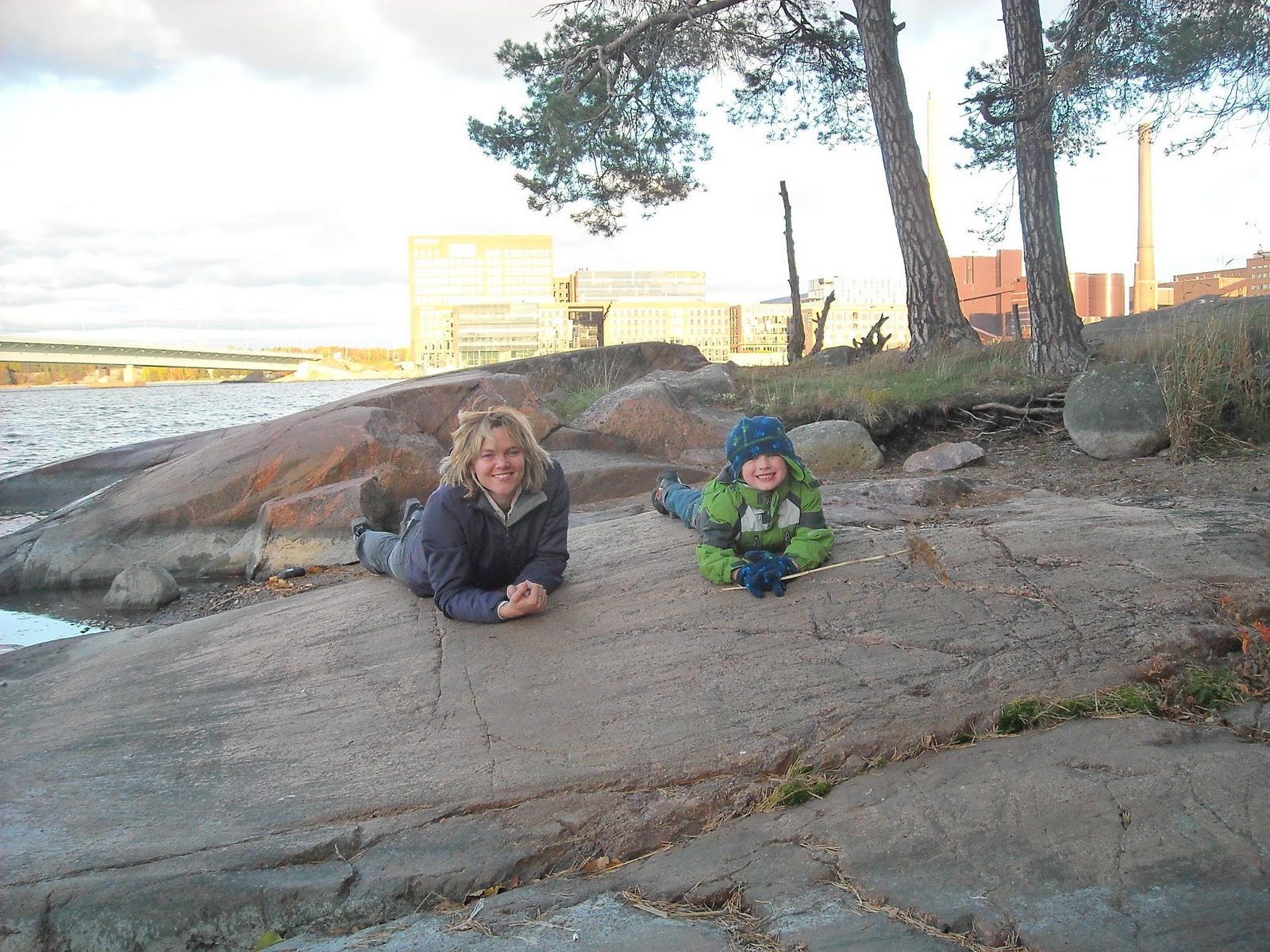
In Helsinki, atop Precambrian shield bedrock in the Dromso neighborhood.

Streets of Helsinki, Barbro, me and the sleepy boy.


Helsinki's Temppeliaukio (Rock church). Constructed out of granite, shiny interior roof is copper.  http://en.wikipedia.org/wiki/Temppeliaukio_Church


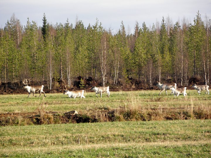
Heading north to Ranea, a herd of reindeer pass the road.


Heading to the pegmatite mine.


You land in timeout if you throw snowballs at the miners in the pit.


Black tourmaline (schorl) from the Ranea pegmatite. Photo by Jeff, see more of his mineral photography here http://www.washingtonminerals.com/.

Southern Iceland - October 2010

I spent 3 days in southern Iceland in October 2010. Our first stop was the Blue Lagoon spa, southwest of Rejkavik. After that, we drove east along the coast and spent the night in the small coastal town of Vik. We continued on past the volcanic deposits from recent Eyjafjallakull volcanic eruptions (just 6 months earlier) and to Jokulsarlon river delta.

Blue Lagoon geothermal pool spa. In the background you can see the Svartssengi geothermal power station. The spa waters are temperature-controlled industrial waters released from the geothermal plant. Swimming in the waters was a fantastic way to get over jet lag. http://en.wikipedia.org/wiki/Blue_Lagoon_(geothermal_spa)


The hut in the village of Vik where we stayed. Layers of basalt flows form the rocky backdrop.


Extensive road damage was left behind from Eyjafjallakull's volcanic eruption 6 months before our visit. This photo shows a stream cutting a channel through the recently deposits volcanic sand and silt. Road crews with backhoes and excavators were still removing volcanic debris from main roads on the day of our visit Oct 20. Some amazing photos of the Eyjafjallakull April 2010 eruptions are featured in this Boston Globe article http://www.boston.com/bigpicture/2010/04/more_from_eyjafjallajokull.html.


The meltwater bay at Jokulsarlon. If the image looks familiar, it's because this locale - where a glacier sends icebergs downriver out to the Atlantic - has been featured everywhere from a James Bond movie to the Amazing Race reality television show.


Kai at Jokulsarlon.

Beached icebergs on black basalt sands at the Jokulsarlon delta, where the lucky icebergs are released to the wild Atlantic.


Ewes east of Jokulsarlon.

Sunday, August 1, 2010

Unicorn Glacier, Mount Rainier National Park

A photo taken during the approach to Unicorn Glacier in Mount Rainier National Park. It was a cloudy day, so Mount Rainier was not "out."


In the cirque/alpine basin, getting closer to trail's end.


Freezing cold lake where only crazy people swim -- meltwater from Unicorn Glacier.

There were so many trails...but with a 4-year old...at least we got one in. Next stop was the Paradise Visitor's lodge.

Sunday, July 18, 2010

Mt. Zion conglomerate

An encore trip up Mount Zion. Four kids, two adults. The Lyre Formation rock exposures and lush understory makes for interesting trailside viewing on the way up.

Lyre Formation pebble conglomerate along the trail.


At the peak of Mount Zion: a geologic debate heats up. 


Why is geology so much more interesting with a rock hammer in hand?

Sunday, July 11, 2010

Tubal Cain mine

On an absolutely beautiful day in July, with wild rhodedendrons in bloom, I finally made it up to the abandoned Tubal Cain mine. 


There are several old adits into bedrock along the hiking trail. Bementite, a manganese silicate, is the ore mineral that was mined. Mindat has more information on this mineral: http://www.mindat.org/min-621.html.


There was old mining equipment around at the primitive campground that is surrounded by lush streams. If you hike up past the camping area, above the tailings pile, you'll find the upper adit. This really is one of the most beautiful hikes to be had. 


Sunday, May 9, 2010

Third Beach, La Push, Olympic Peninsula

Found my way to Third Beach, near LaPush, for Mother's day. The wind-whipped water turned beautiful shades of turquoise-green. I found dozens of pebbles of black and red orbicular jasper along the upper portion of the beach. Small patches of the beach were blanketed in black sand -- the sand grains made of tiny pieces of basalt that have eroded from the headlands. 


It's slow going mining pebbles out of the conglomerate.


Wednesday, May 20, 2009

Dosewallips Ho!


For Mother's Day this year, Kai took me camping to Dosewallips.

Dosewallips State Park is a nice, clean state campground on the west side of Hood Canal, somewhat north of Olympia. You don't have to have a reservation - some sites cannot be reserved - but I definitely recommend it.

Dosewallips beach (http://apps.ecy.wa.gov/shorephotos/scripts/bigphoto.asp?id=JEF0052) is a great place to go clamming, but we actually drove home Sunday morning to do that locally instead.


So for dinner, we got to have steamed clams with butter. Yum!


Monday, October 20, 2008

Holy Mammatus Clouds!

I picked up Kai from preschool in Port Hadlock and on the way home I couldn't believe my eyes! These giant mammatus clouds were plopping down from the sky. I've only seen mammatus clouds once before in Montana - they are rare on the west coast. This type of cloud is usually found trailing after the anvil part of a violent thunderstorm cloud. (Which probably was the case today, I just never heard any thunder or saw any lightning.)

We had a very cold front and rainstorm move through around 4:30 today. It was drizzling and dark when I went in to the school and when I came out these clouds were limping after the passing storm.

I raced home with Kai, grabbed my camera and told him that we were going "cloud chasing." The clouds were literally fading away on the horizon as I snapped these around 5:40 pm. It made my day!


Friday, July 4, 2008

Portland June 19-20

I travelled to Portland with Eric to attend his sister's wedding. On the way to the church I saw this sign and started laughing. It is so true.


Thursday, October 4, 2007

Finland: Leaving Jtown, Helsinki or bust: Fri. Oct 5


As the winter rains are starting to settle in, Harriet, Kai and packed up to head south for the winter to Faster Barbro's apartment in Helsinki. This is the last leg of our 3-week trip (*sniff*).
I picked up my new Finnish passport yesterday afternoon from the Police Station in Jakobstad. It took 7 days to get (that's without a rush) and cost 46 Euros. Of course, getting passport photos from the photo studio in town cost 13 Euros - and the photo looks just as crappy as $2.00 ones from a photo booth!

This morning we visited Fammo and had dreamcake (drömtårta) and pepparkakor from Sjöberg's bakery in Jakobstad. Good stuff! Fammo gave us each a package to take home. Yummers!

Next time we'll be back is for her 95th birthday party in 2009. And Kai will be 4 years old!

What was really cute was that Kai is completely unaware that Fammo is 93. In this picture, he is eclipsing Fammo after climbing all over her. He tried to jump on her, get her to give him a horsey ride and yanked on her arms pretending he was falling. She survived! Meanwhile, I was a little worried and I asked if he was bothering her but she said no. I guess once you're a great grandmother you've learned how to play with kids and not throw out your back. I, however, am still learning that lesson.

We caught the intercity train leaving Jakobstad at 15.30. Kai and I played in the second story kids playground in one of the wagons. What a great idea to put one of those in. I even went down the slide too.

Faster came and met us at the Helsinki train station and we took a taxi back to her apartment on in the Dromsö neighborhood. Tomorrow I'm off to Åbo (Turku) to relive my youth (I lived there for 4 years while working on my master's degree in geology).

Finland: Kokkola...Archrival of Jakobstad: Thurs. Oct 4

Today, we entertained the enemy and visited the city center of the neighboring town Kokkola. The Swedish name for Kokkola is Karleby, and I'm not sure how the Jakobstad and Kokkola became rivals, but I've heard many a joke about "Kokkola bo." (Residents of Kokkola.) Unfortunately, none of the jokes are fit to print.


(Here is a photo of the pedestrian street that runs through the town's shopping district.)

In Kokkola, we visited the Rukka factory outlet and H&M. I didn't even know they had an H&M "up north" here. True to form, it carried precisely the same stuff as the Helsinki store.

My mom was excited since there was a Robert's coffee where she could procure a latte, and Kai and I rode the escalators ad infinitum. Turns out that kids can do that...if they have their parents along.


(Here's Kai sitting on a bench. Notice the Rapakivi granite trim underneath. In the U.S., this building stone is known as "Baltic brown.")


I've always had a soft spot in my heart for Kokkola. When I was 5, I spent a week in the hospital there and I remember the nurses were very nice, that in the surgery room there was a picture of a red and white mushroom that a kid had drawn, and that there was an awesome gameroom down the hall where Mike got to play - but I didn't!

Afterwards, we went to visit Fammo. She seemed very cheerful and had been out for a long walk with another lady. Kai and I actually walked past them on our way to Fammo's apartment, but we didn't recognize Fammo and she didn't recognize us! Overcoats, hats and sunglasses will do that. The weather, though crisp and a bit windy, was downright balmy today, peaking around 13 C (about 55 F).

Tonight is our last night in Jakobstad. I picked up my Finnish passport from the police station today and tomorrow we leave by train for Helsinki. It's been a great stay here in Jakobstad - even the trees in town rolled out the red carpet with the best fall foliage that's fit to see.

Wednesday, October 3, 2007

Finland: Lappajärvi ho! Wed. Oct 3

Kai's first impact crater!

We made it to the big impact crater! It was a fun day. Between the meteorite museum at Kivitippu hotel and driving around the central uplift island of Kärnä, it was a rock star kind of day. I think my mom and Kai had fun too. Here a few pictures.


View of foggy Lake Lappajärvi from the southern tip of Kärna Island.


At the meteorite museum at Kivitippu, there are some great display boards, dioramas and evena real meteorite that landed near Borgå (Porvoo).

The impact crater diameter extends beyond the


lake's boundaries. The impact crater is 19 km long - Finland's biggest.

A vast layer of melted bedrock, which geologists call suevite, is present in the Lappajärvi area. Locally, this rock is called kärnite and is mined for use as a beautiful building stone.
This photo is of the floor at the Kivitippu Resort. You can see the blocks of unmelted host rock in the grey melted matrix. The grey material got so hot it was glass!


The island of Kärna has beautiful birch forests, in addition to an exciting geologic past.